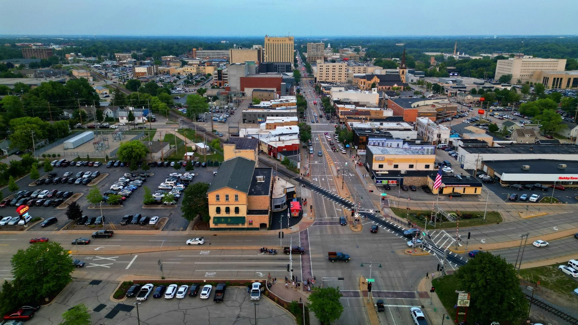
Photo/Video (Real Estate, Construction, Promotional Material, etc.)
Indoor fly-through tours
Orthomosaic Maps (Large areas captured with greater detail than satellite imagery. Great for construction progress monitoring, event planning, etc.)
Aerial Thermal Capabilities (Great for roof inspections)
Scouting and Conservation
Historical Preservation (3D Models)
Customer-Conceived Ideas

